scroll
We take a different perspective to enabling world-scale AI


1. High Resolution Satellite View
Satellite imaging lets us analyze and organize ground data (trees, roads, and building geometries) from the sky and build a 3D mesh of the city.


2. City-scale Visual Fingerprint Map
Every location is converted into a visual fingerprint using the ground data we analyzed from satellite imagery, transforming the city into a machine-readable fingerprint map.


3. Computer Vision 3D Recognition
Our computer vision algorithms instantly extract visual fingerprints from the user’s ground camera and match against our fingerprint map to determine the user’s exact location and project the 3D mesh for AI models to understand space.
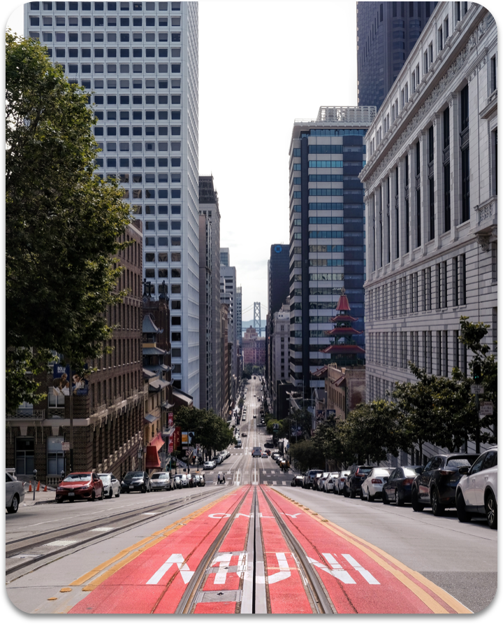

4. Welcome to the AI city
The rest is up to your imagination. VPS turns the entire city for AI services to understand space
Simple SDK to connect to VPS cloud service




Available NOW

Coming Soon
Want to use VPS in your product? Drop us a line to let us know your application.
FAQs
Any Uncertainties? Here are our most commonly asked questions
Where is VPS available?
In the United States, VPS is currently available in San Francisco, NYC (Manhattan), San Jose, Los Angeles
and several other major cities. Internationally we have coverage in Tokyo, Seoul, Shanghai, and Dubai.
What is your localization speed?
It takes about 3 seconds on a 4G network for the device to get a localization response from our VPS
server. We are working to bring this down to 1 second.
Does VPS work indoors?
Since our technology is based on satellite imagery, we are currently optimized for the outdoors.
Can I request my cities to be covered?
Yes! Let us know here where you want VPS
coverage for and what you want to build with it.